The road south, in five chapters
From the red city to the edge of the Sahara, each landscape has its own light, pace and people.
01Chapter 1
Marrakech
The red city
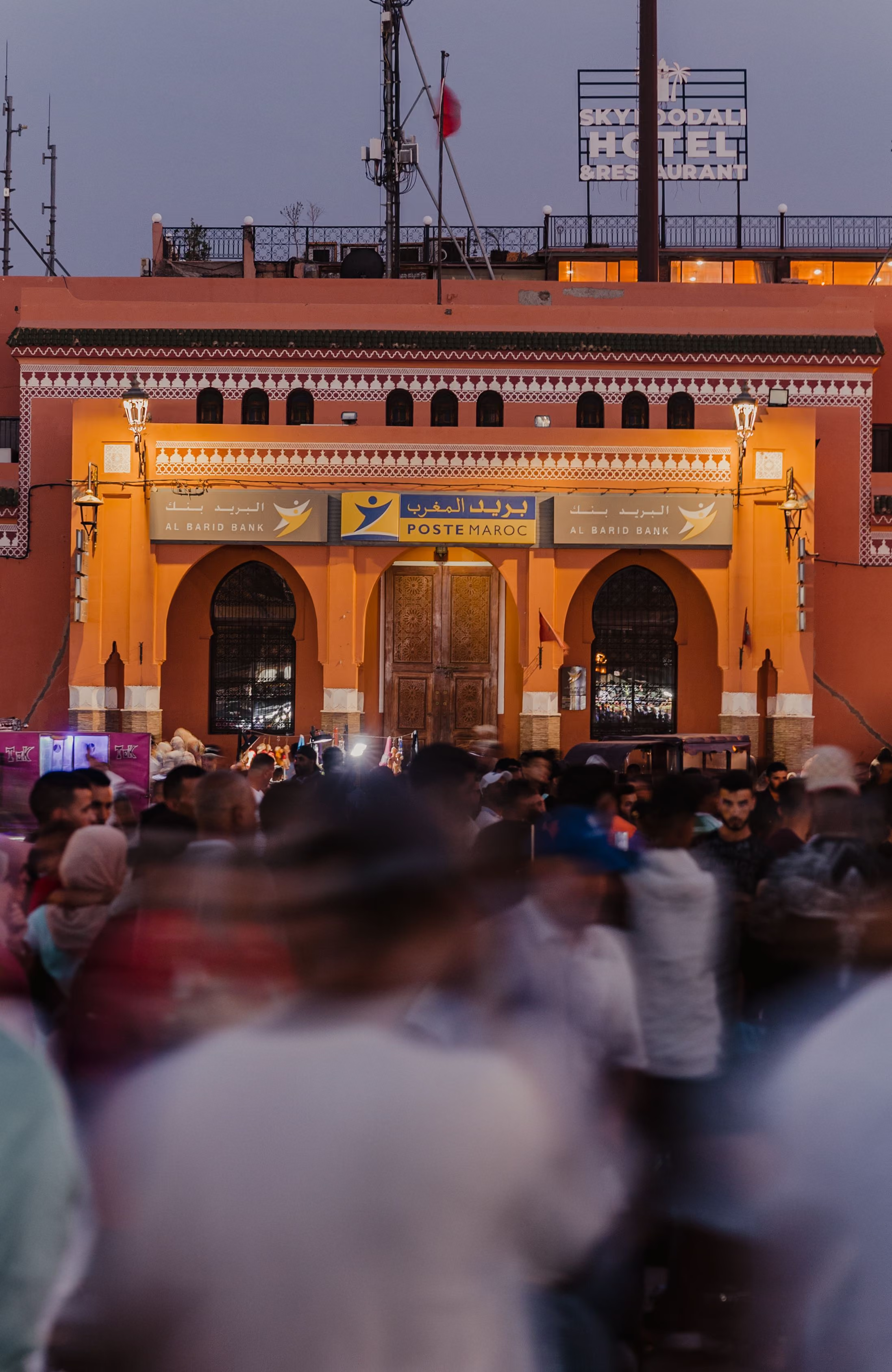
Founded in the eleventh century and still the country's great meeting place, Marrakech is where most journeys south begin.
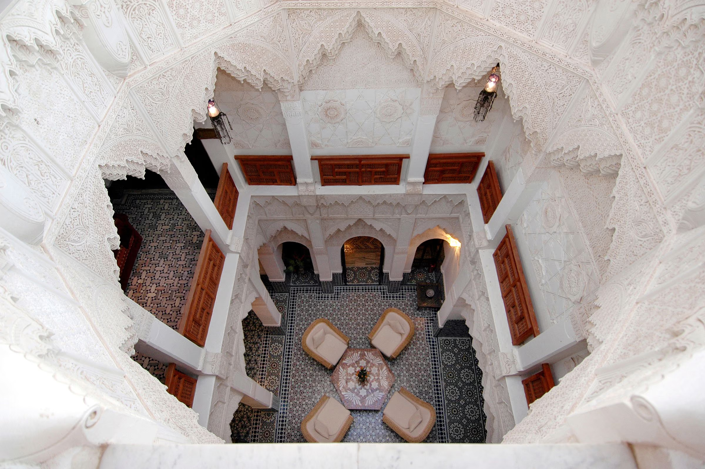
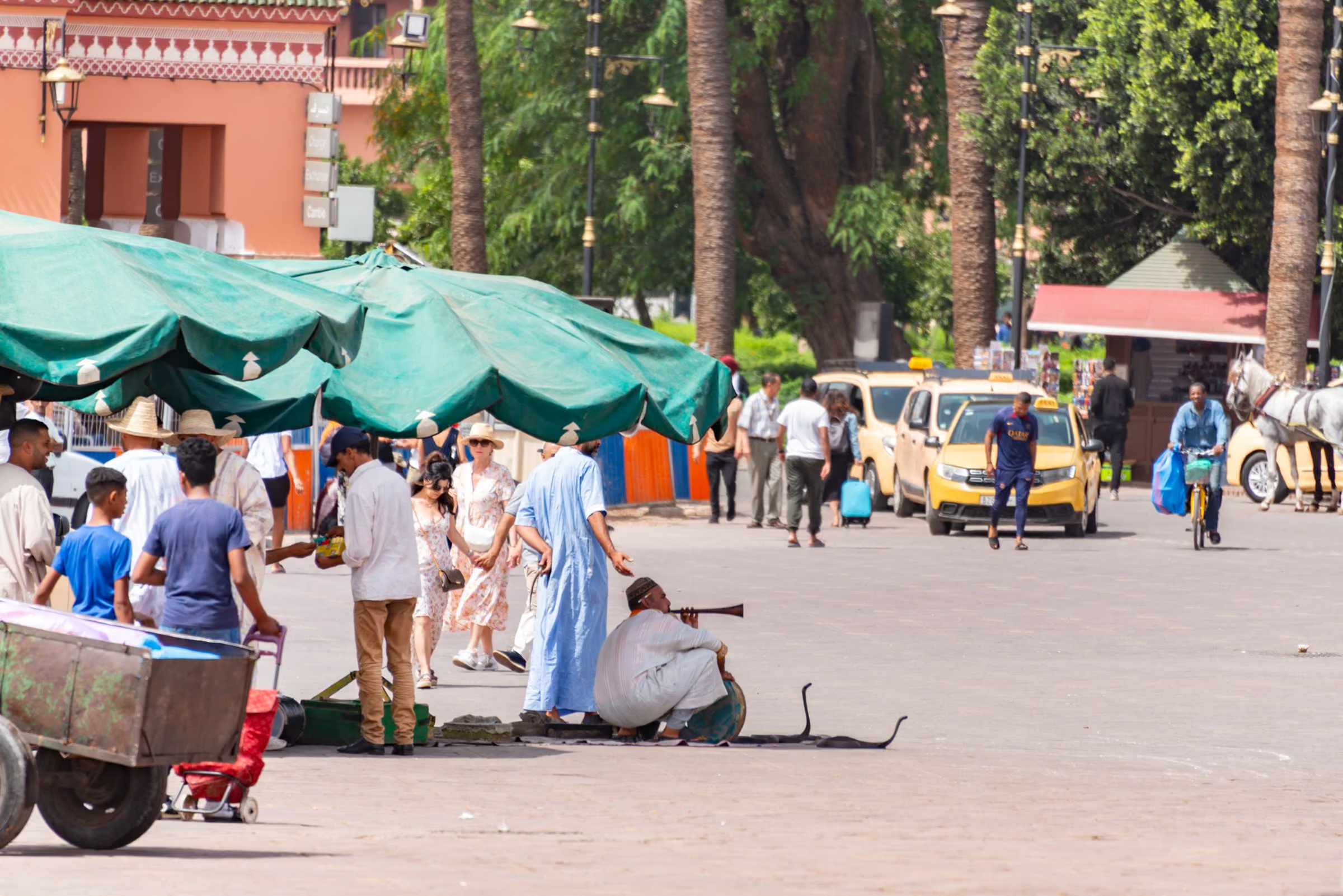
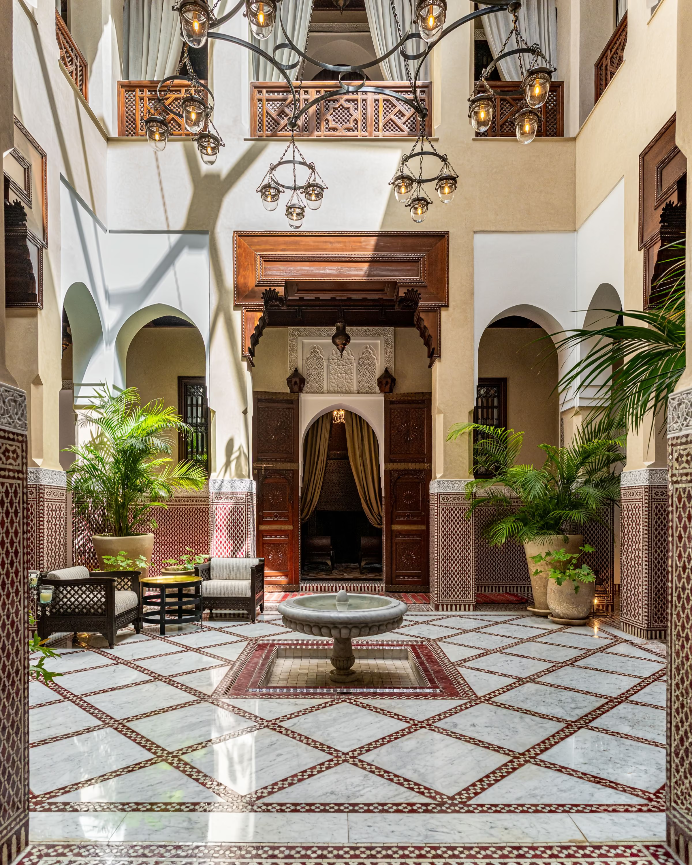
Behind the ochre ramparts, the medina is a sequence of thresholds: from the noise of Jemaa el-Fna into covered souks, and from the souks through an unmarked door into the hush of a riad courtyard.
We use the city as a place to arrive slowly — a first evening on a rooftop, a morning with a guide who grew up inside the walls, and time left deliberately unplanned.
- Best months
- Mar – May, Sep – Nov
- Medina
- UNESCO World Heritage, 1985
- Arrival
- Marrakech Menara Airport (RAK)
02Chapter 2
Atlas Mountains
The high country
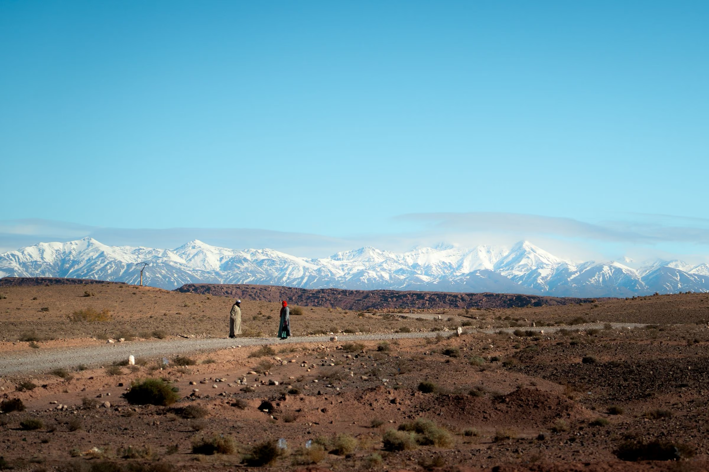
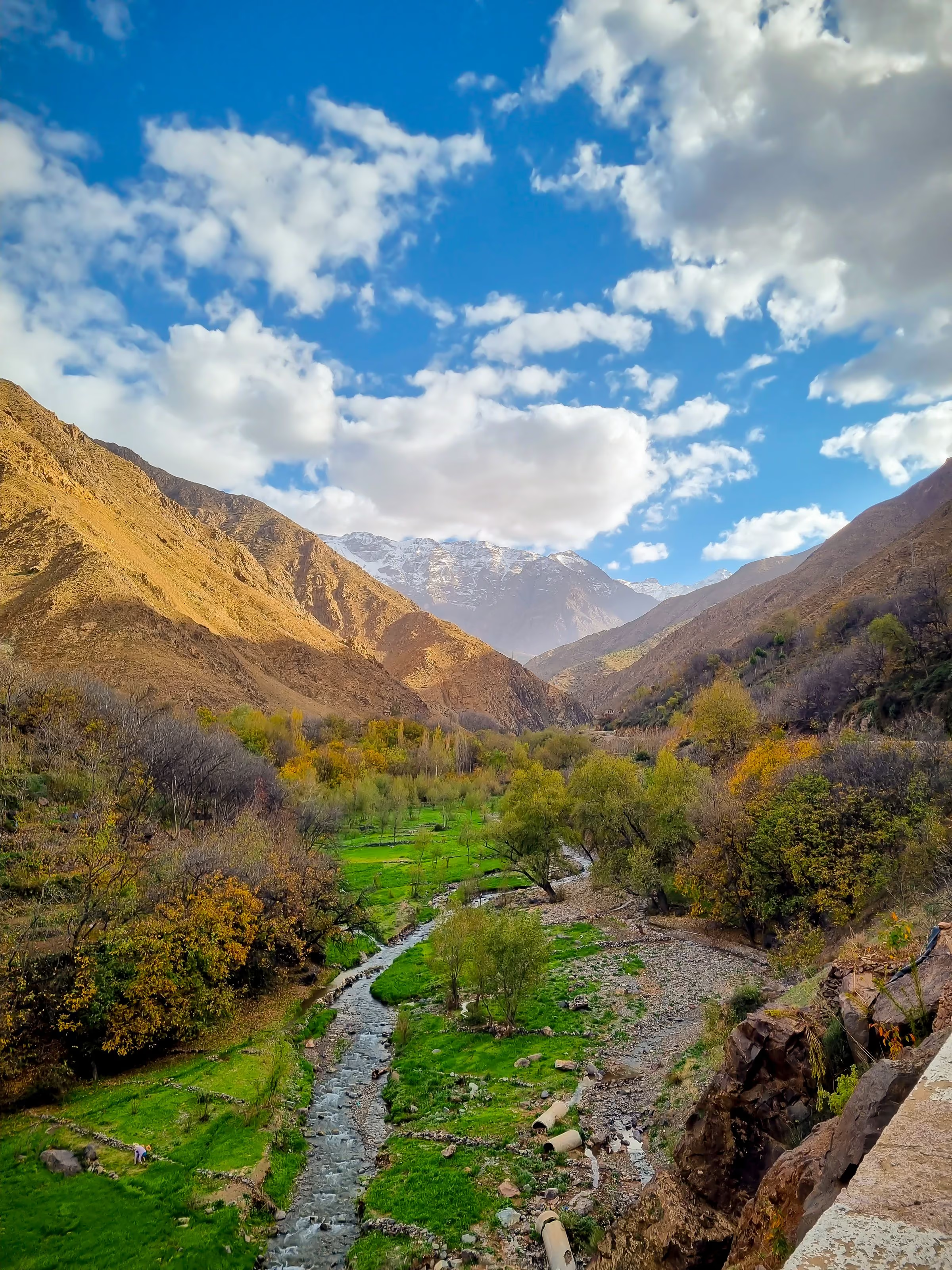
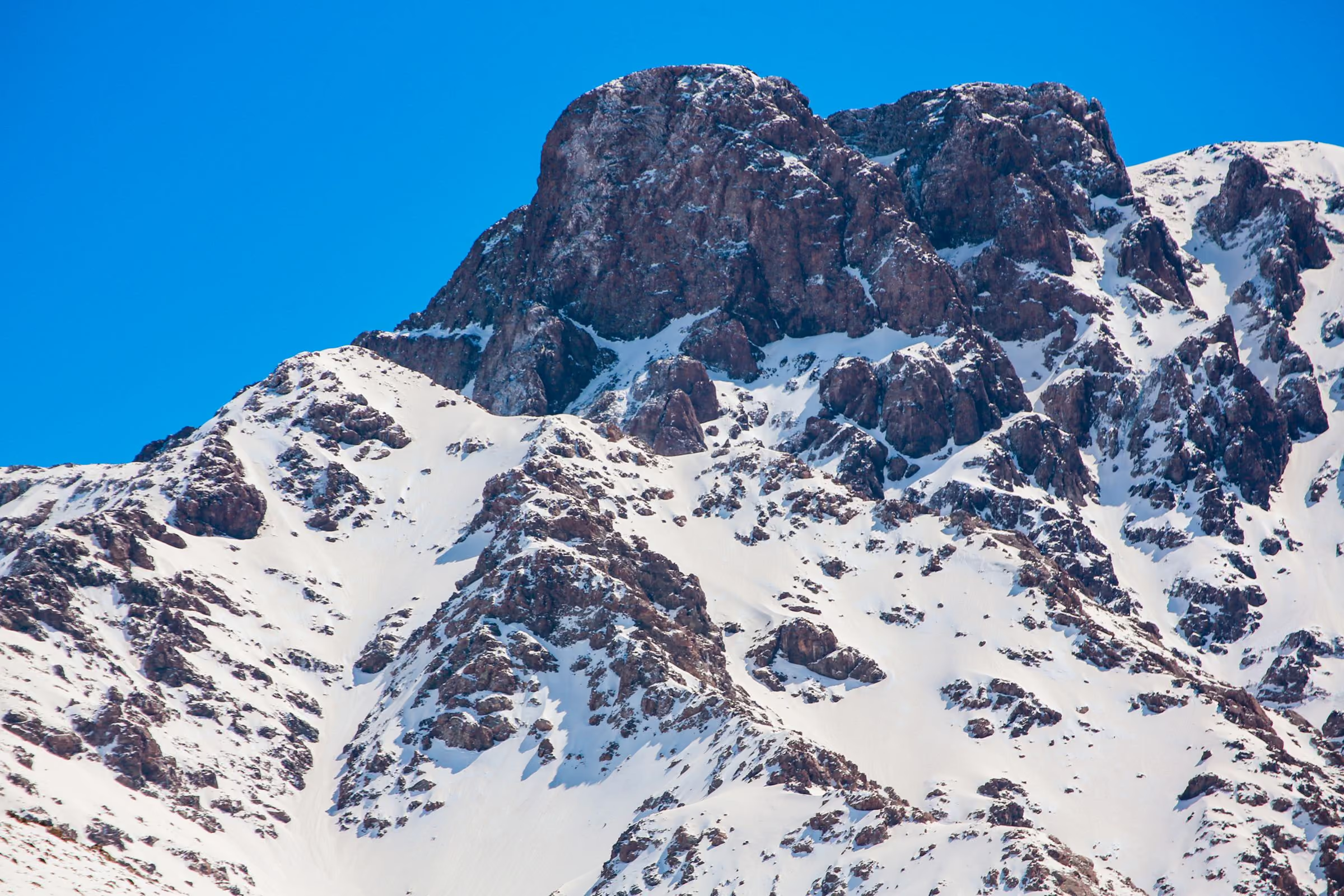
An hour and a half from Marrakech the air cools, the walnut terraces begin, and Jebel Toubkal — at 4,167 m the highest summit in North Africa — comes into view.
The High Atlas is Amazigh country: stone and earth villages stacked above irrigated valleys, connected by mule paths that are still the quickest way between neighbours.
Our mountain days are paced for conversation as much as distance, with local mountain guides, mule teams for luggage and nights in family-run guesthouses.
- Highest summit
- Jebel Toubkal, 4,167 m
- From Marrakech
- Approx. 1.5 hours to Imlil
- Best months
- Apr – Jun, Sep – Oct
Journeys including Atlas Mountains
- The Grand Southern Circuit9 days
- High Atlas Village Trek4 days
- Toubkal Ascent3 days
- Atlas Day Escape1 day
03Chapter 3
Ouarzazate
The door of the desert
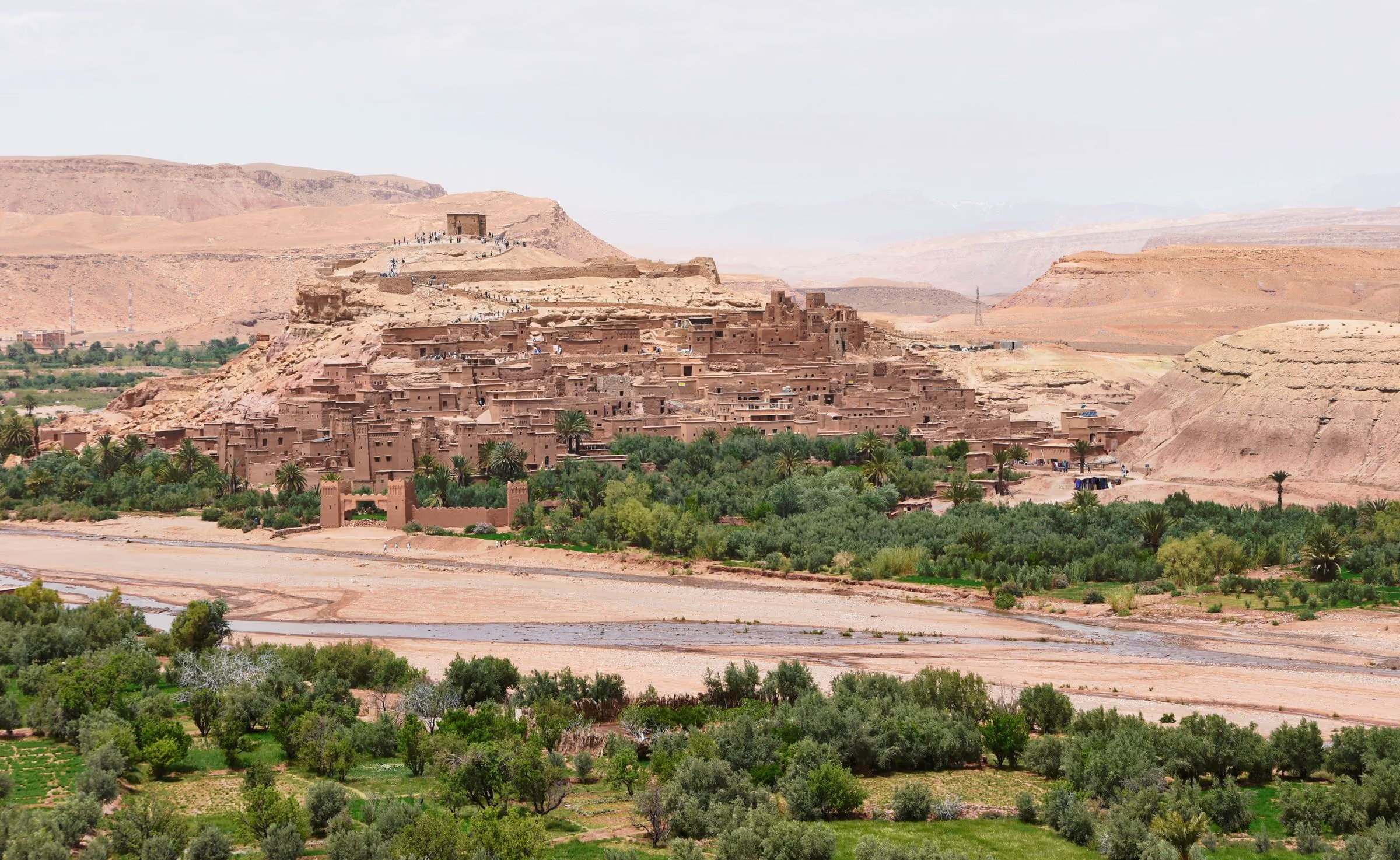
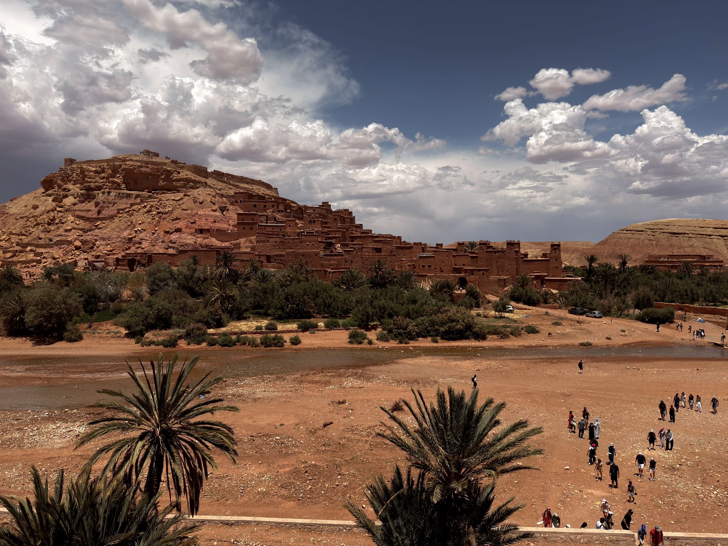
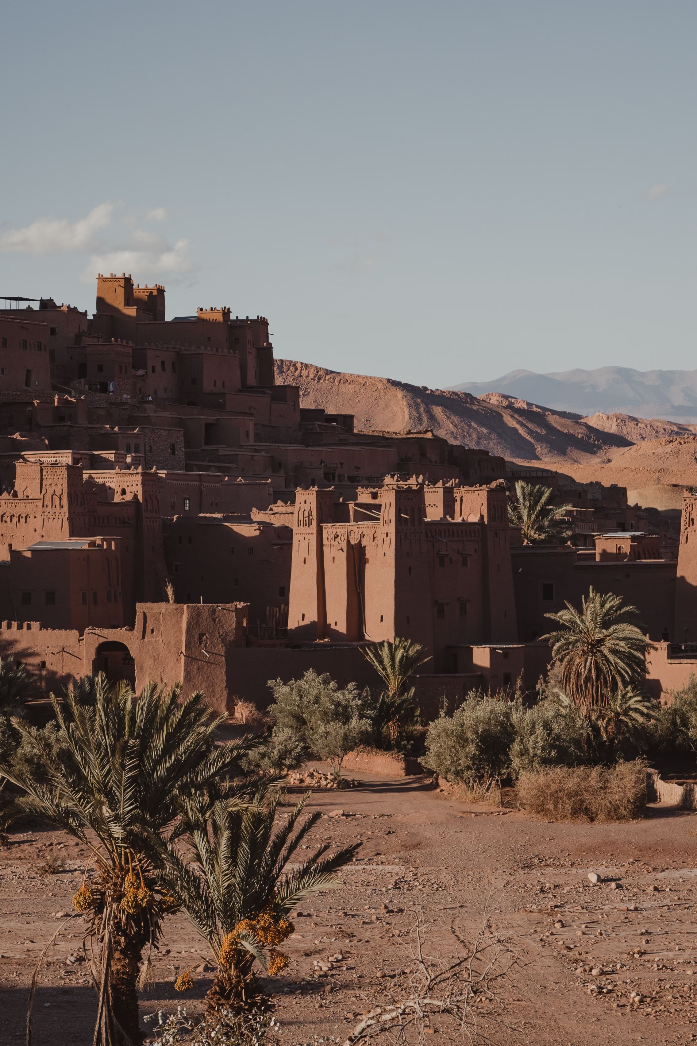
Over the Tizi n'Tichka pass the landscape turns mineral. Ouarzazate and the fortified ksar of Aït Benhaddou mark the old caravan routes between the Sahara and Marrakech.
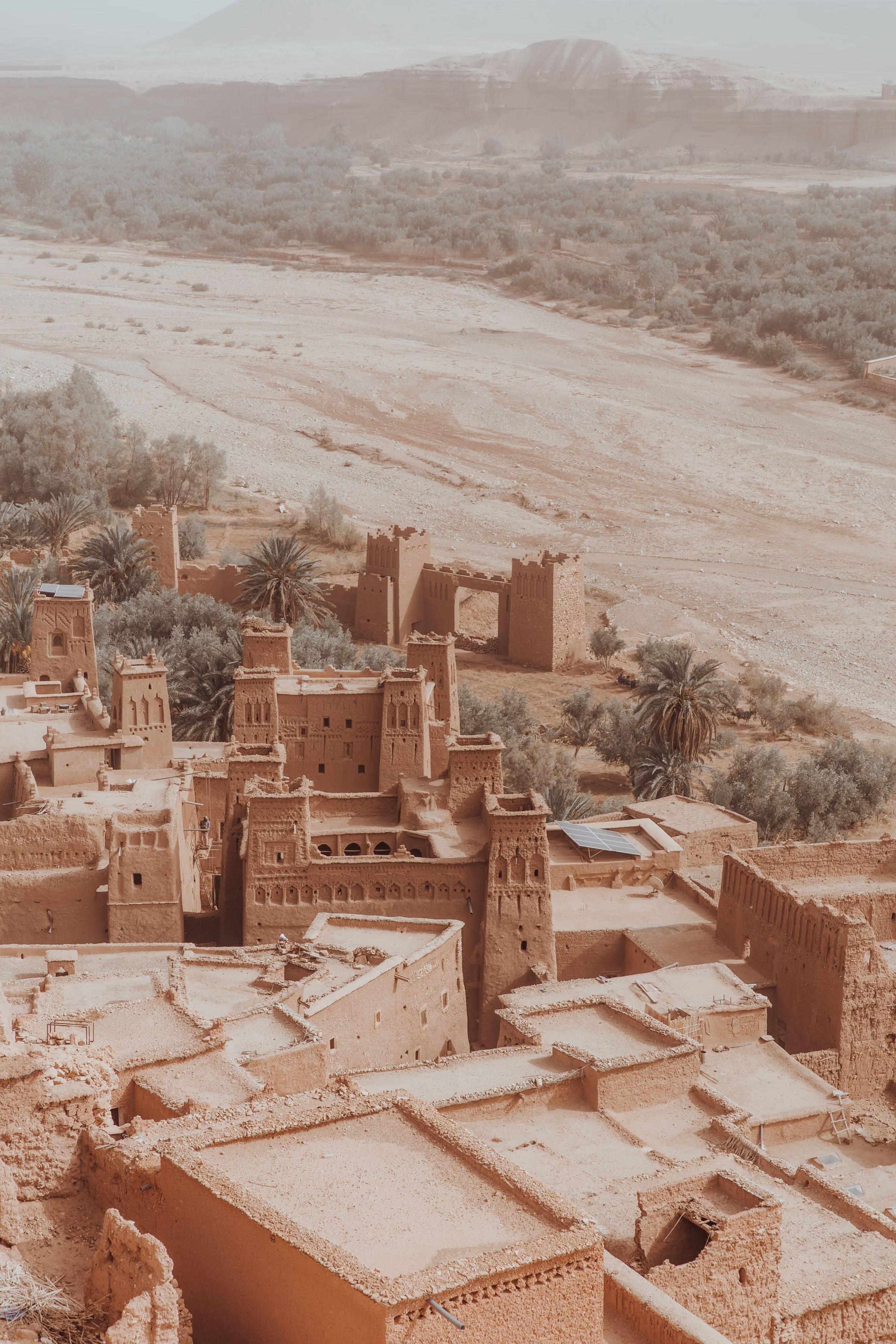
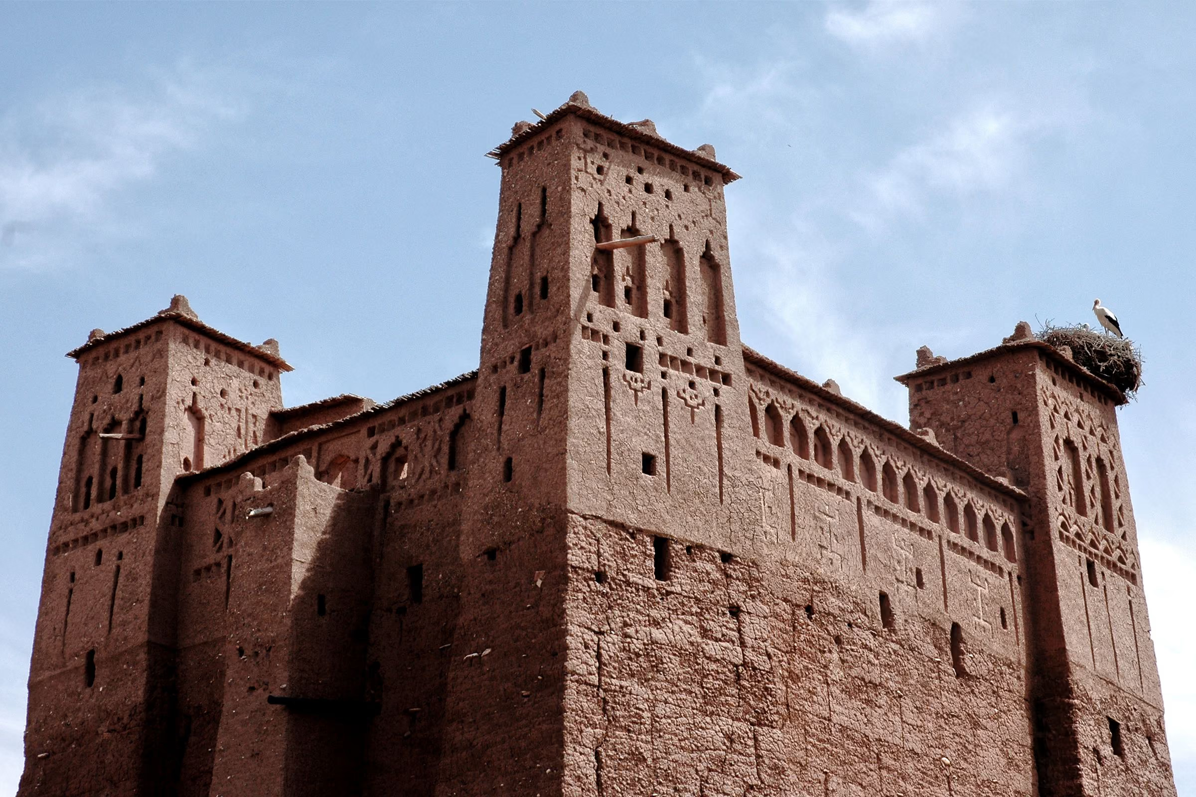
Aït Benhaddou, listed by UNESCO in 1987, is a village of rammed-earth towers that has been rebuilt by hand for generations. Arrive late in the afternoon, when the walls turn copper.
Ouarzazate itself is a working town of kasbahs, film studios and wide light — a natural pause on the road south.
- From Marrakech
- Approx. 4 hours via Tizi n'Tichka
- Highest pass
- Tizi n'Tichka, approx. 2,260 m
- Aït Benhaddou
- UNESCO World Heritage, 1987
04Chapter 4
Dades Valley
The valley of kasbahs
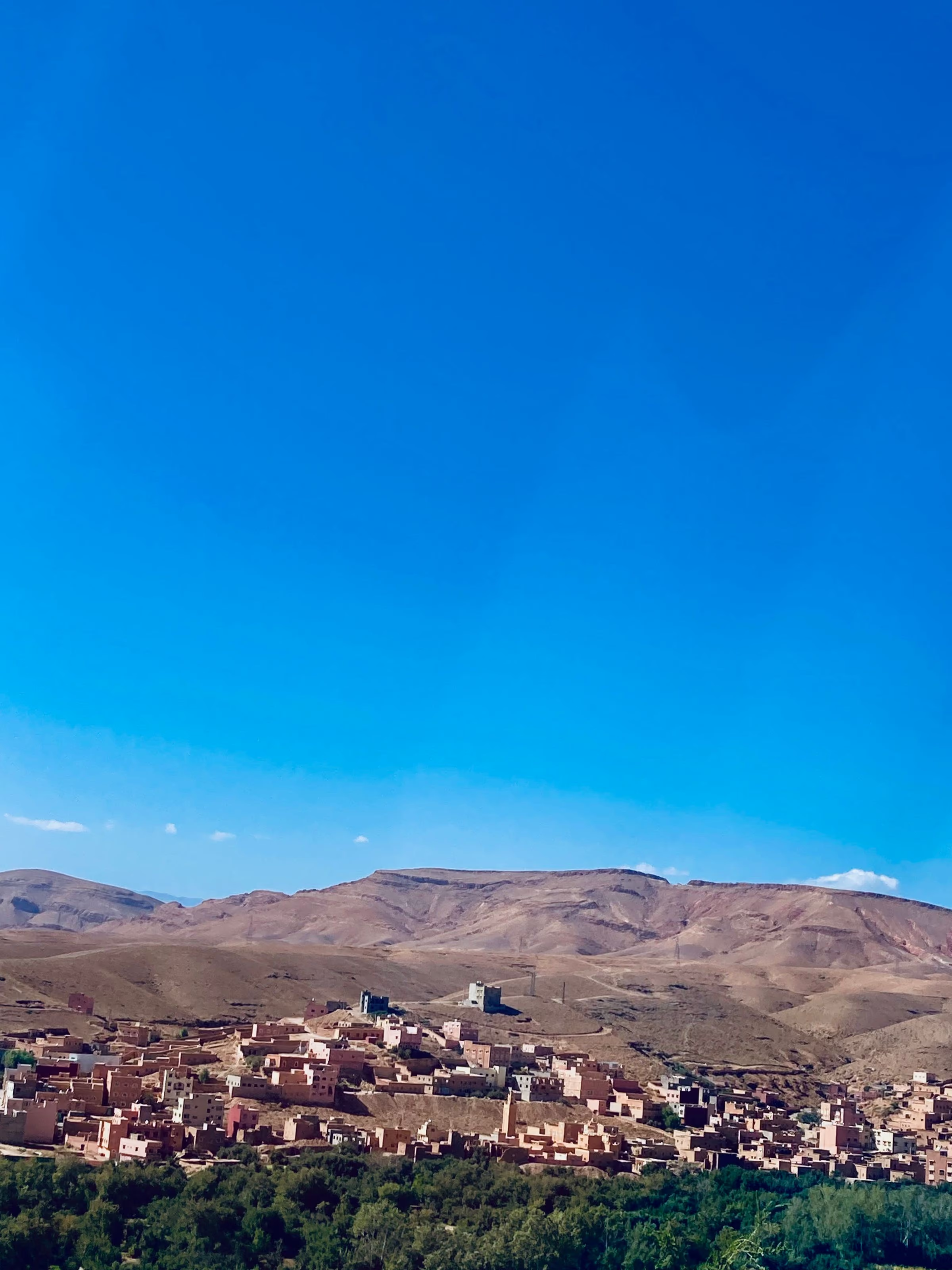
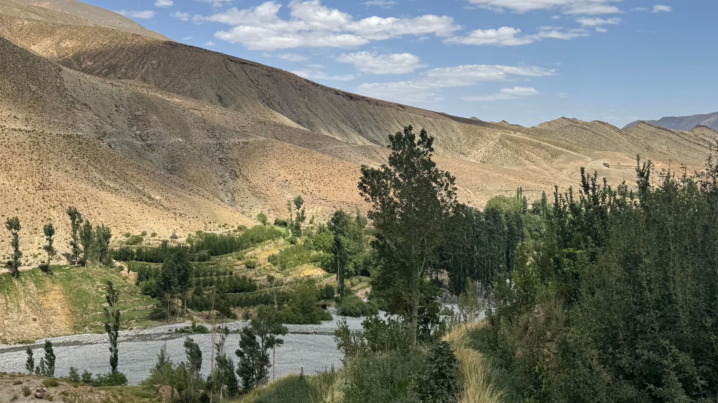
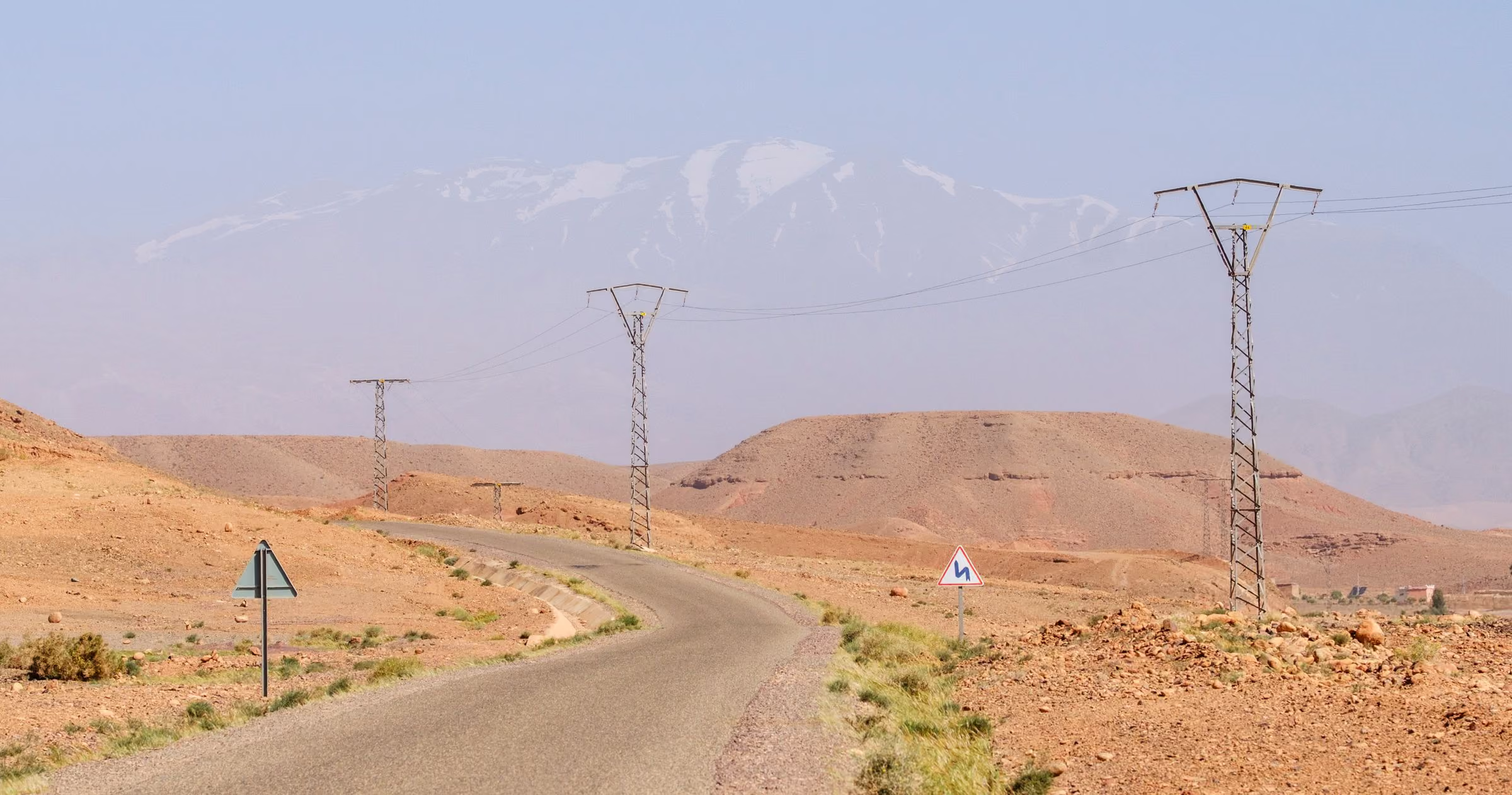
Between the High Atlas and the Jebel Saghro, the Dades river draws a green line through red rock, lined with earthen kasbahs and walled gardens.
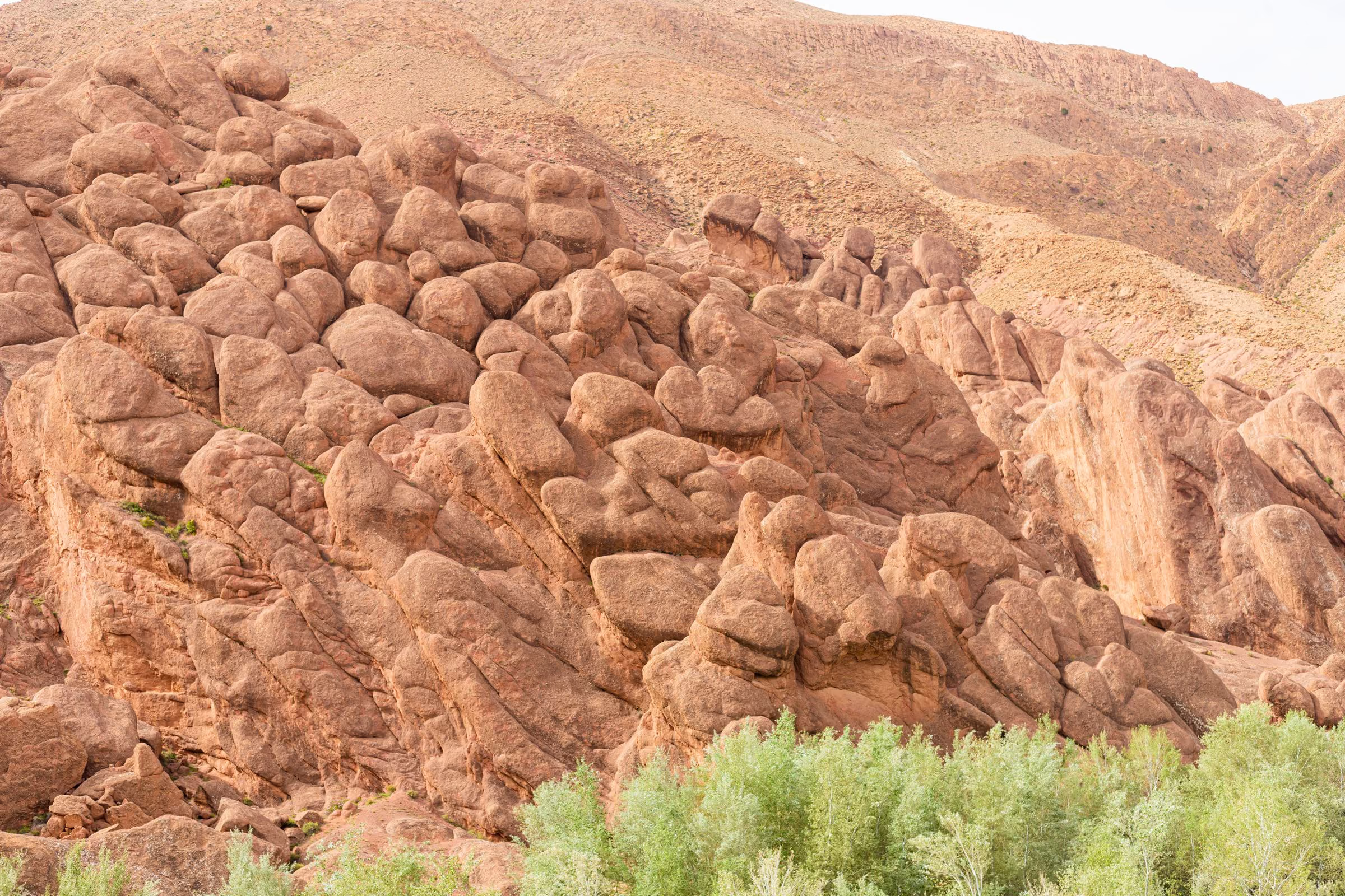
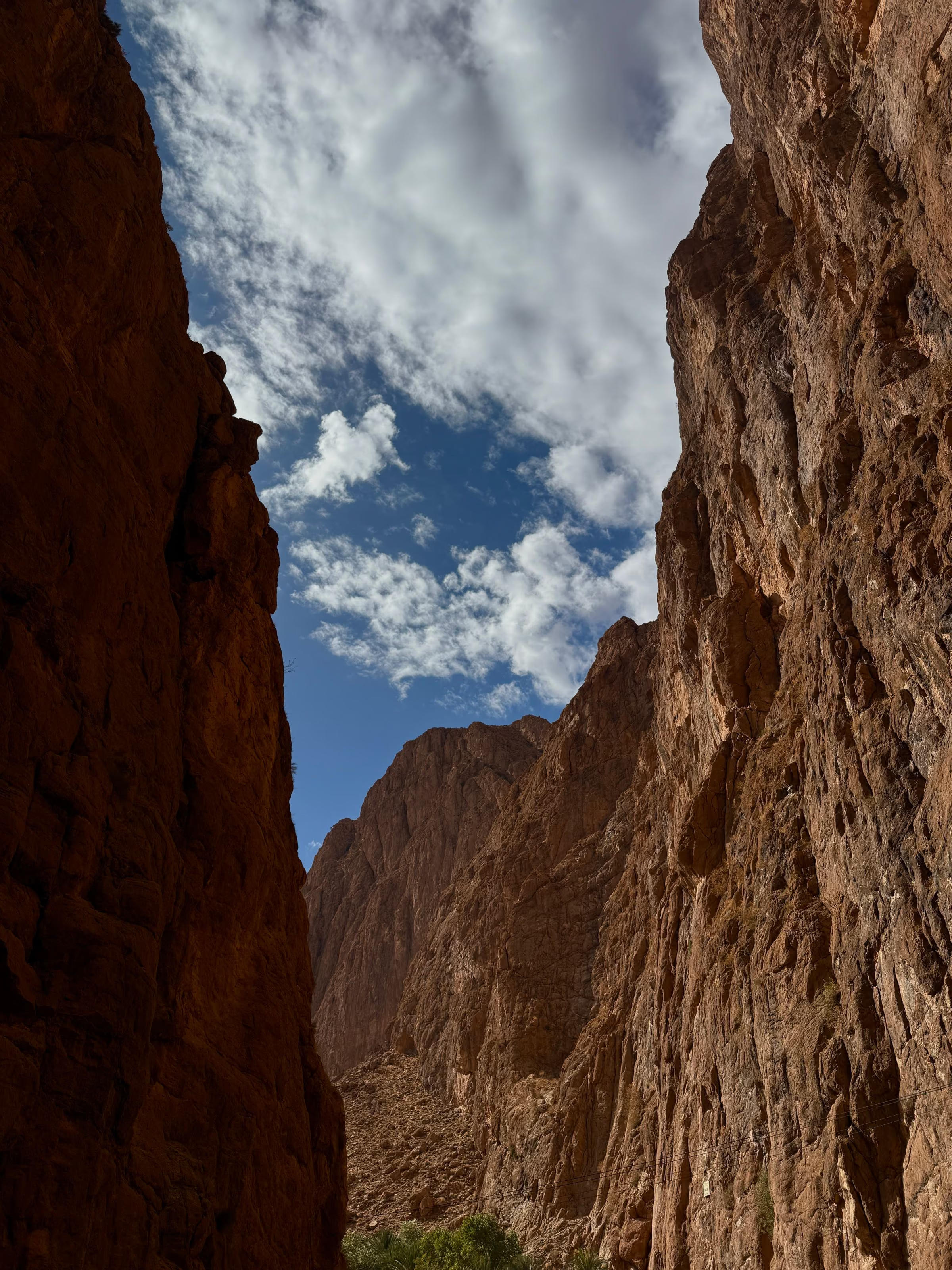
Higher up, the valley narrows into the Dades Gorges, where the road climbs in tight switchbacks past rock formations worn smooth by wind and water.
In spring the nearby Kelaat M'Gouna area is known for its Damask roses. We walk the irrigated fields in the early morning, before the heat.
- From Ouarzazate
- Approx. 2 hours
- Known for
- Kasbahs, gorges, spring roses
- Best months
- Mar – May, Sep – Nov
05Chapter 5
Merzouga
The edge of the Sahara
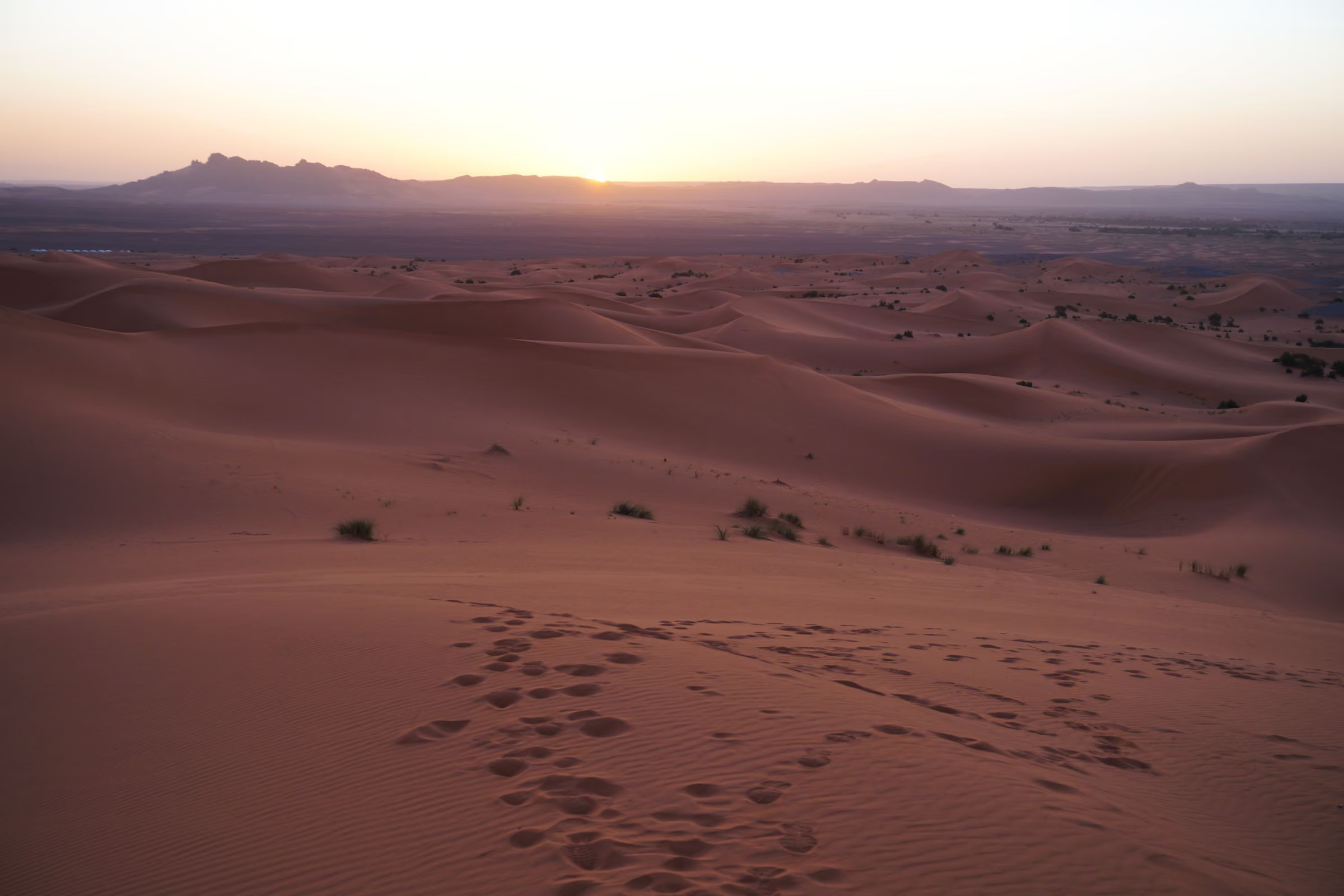
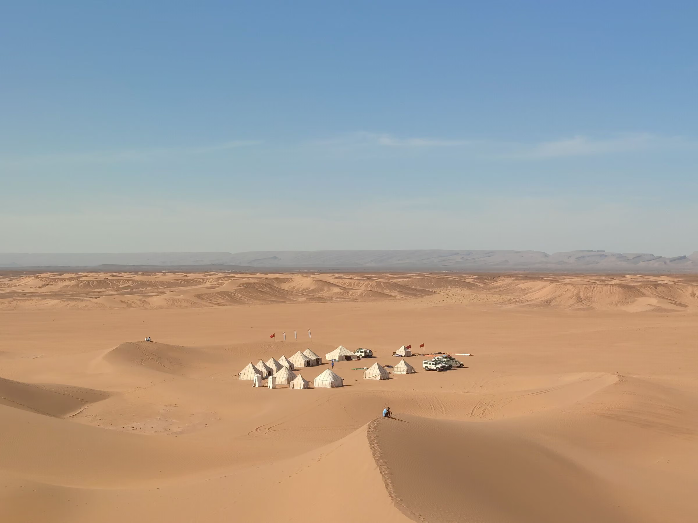
On the eastern edge of the country, the dunes of Erg Chebbi rise abruptly from the stony plain — shifting ridges of orange sand that change colour hour by hour.
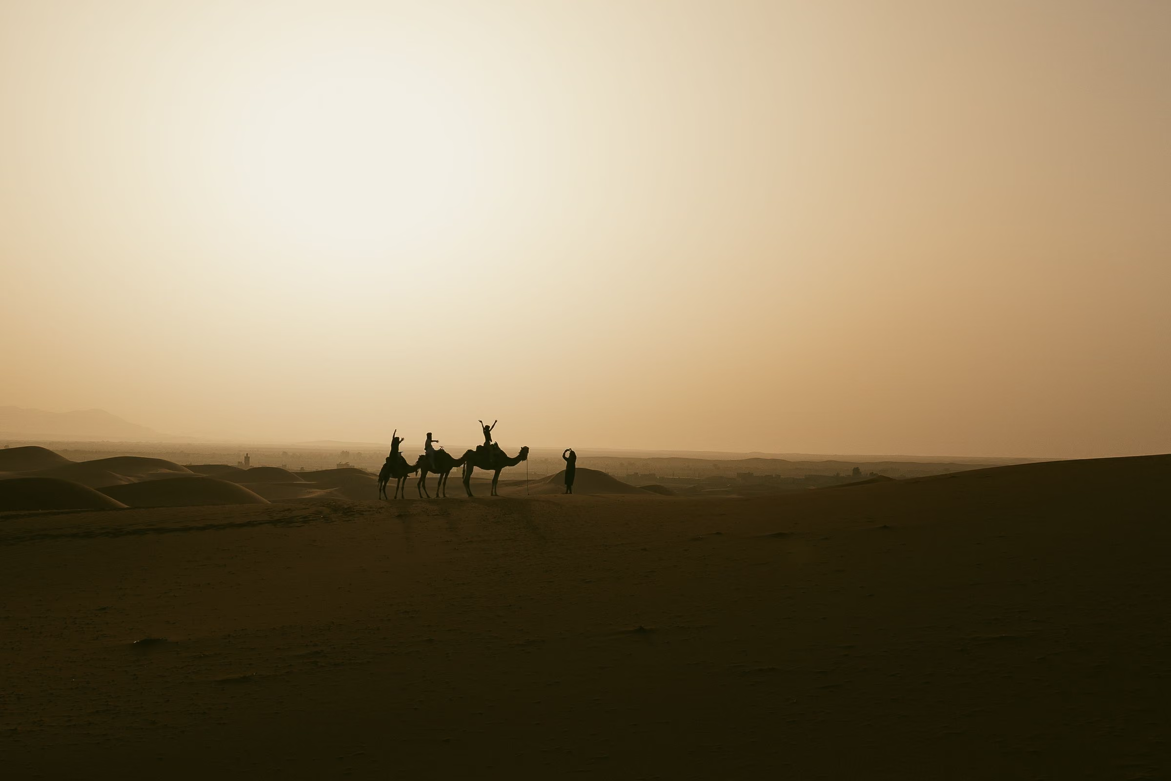
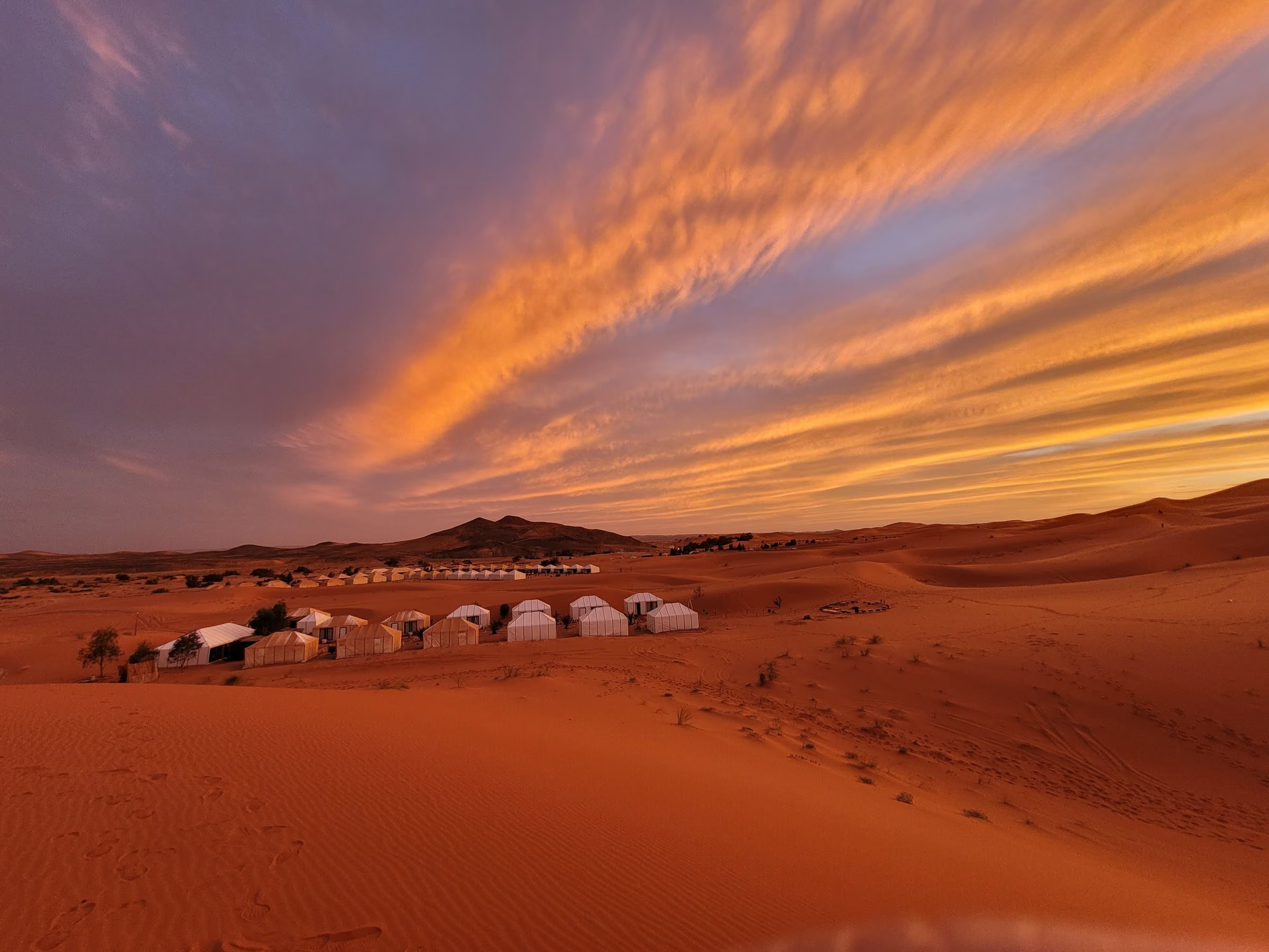
Most travellers arrive in the late afternoon, ride or walk into the dunes as the light softens, and spend the night at a camp far from any road.
The night sky here is the reason many people come. The reason they return is the silence at dawn, before the first footprints.
- From Marrakech
- Approx. 9–10 hours; best split over 2 days
- Erg Chebbi
- Dunes up to approx. 150 m high
- Best months
- Oct – Apr